Site Field Survey Services About
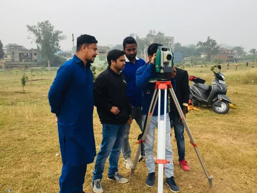
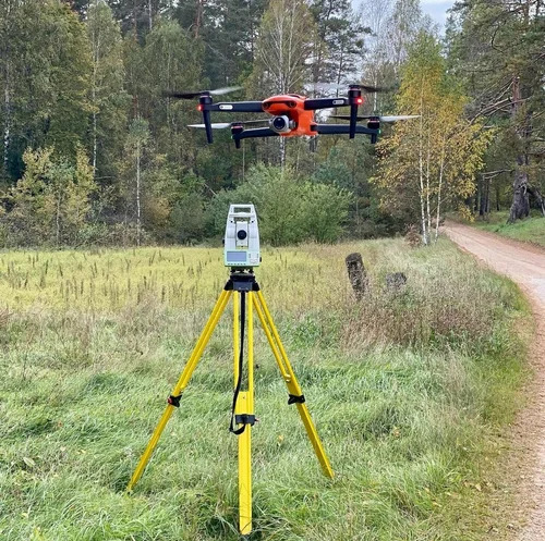
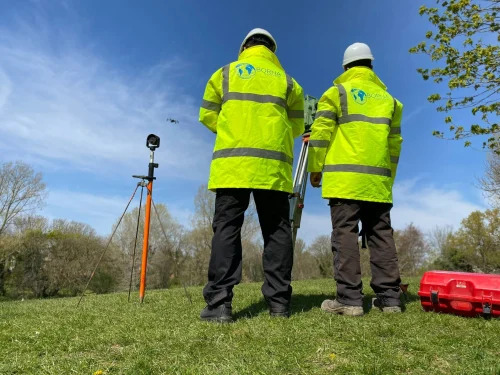
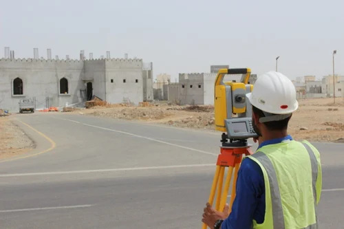
Procure Site Field Survey Services to dominate your fieldwork initiatives with flawless precision and reduced downtime. Our certified professionals grab accurate onsite data using advanced equipment such as Total Stations, Drones, and GNSS Receivers. We guarantee survey accuracy up to the centimeter level, delivering brilliant digital maps and GIS data files within a swift 3-5 working days. Whether for topographic, hydrographic, boundary, or route alignment surveys, our service extends pan-India, supporting geographical mapping, construction planning, resource allocation, and infrastructure development with unmatched excellence. Choose us-supplier and trader-for unrivaled results.
Exceptional Features and Application Method
Site Field Survey Services offers brilliant accuracy using advanced GPS and satellite communication to ensure flawless data capture. Our professionals utilize equipment like drones and GNSS receivers, applying geospatial analysis to produce digital maps and GIS data files. Ideal for topographic, hydrographic, or route alignment surveys, these services are crucial for geographical mapping, resource allocation, and infrastructure development. Application is managed entirely onsite, delivering brilliance every step of the way and ensuring reduced errors in data interpretation.
Supply Ability & Delivery Processes
With robust supply ability across Pan India, our Site Field Survey Services ensure shipped goods reach clients efficiently through reliable transport services. Data and reports are packaged securely in digital formats, ensuring safe drop-off to your designated platform or email address. Every delivery adheres to the promised 3-5 working day timeframe, guaranteeing your project timelines are met without compromise. Experience hassle-free coordination, from initial inquiry to seamless data handover, enhancing your operational workflow and project outcomes.
FAQ's of Site Field Survey Services:
Q: How accurate are the survey results delivered by Site Field Survey Services?
A: Our survey results are procured with up to centimeter-level accuracy, employing advanced surveying equipment and certified expertise to ensure reliable and flawless data for any application.
Q: What types of surveys are supported by this service?
A: We provide topographic, hydrographic, boundary, and route alignment surveys, covering a broad spectrum of applications in construction, infrastructure development, and resource management.
Q: When will I receive the digital maps and GIS data files after the survey is completed?
A: All processed data, including digital maps and GIS files, will be delivered within a reduced timeframe of 3-5 working days after the onsite survey.
Q: Where is the Site Field Survey Service available?
A: Our field survey solutions are available pan-India, catering to clients across various regions requiring geographical mapping or construction planning.
Q: What is the process involved in conducting a field survey?
A: After initial consultation, our certified professionals visit the site, use advanced equipment to procure accurate measurements, process the data, and deliver it digitally according to your requirements.
Q: What are the benefits of using this service for my project?
A: With dominant expertise, reduced errors, and swift report turnaround, clients benefit from data reliability, supporting brilliant project planning and resource allocation.

 Send Inquiry



 Send Inquiry

 Send Inquiry


