Contour Survey Services About
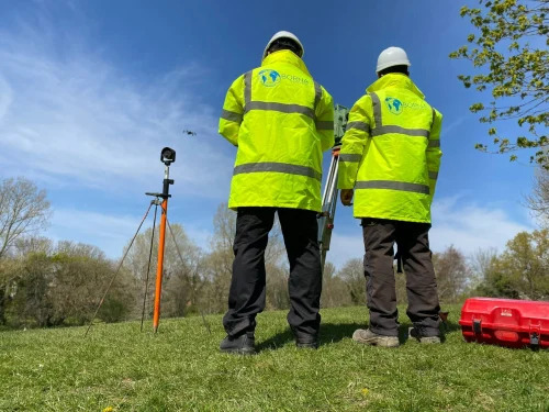
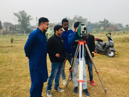
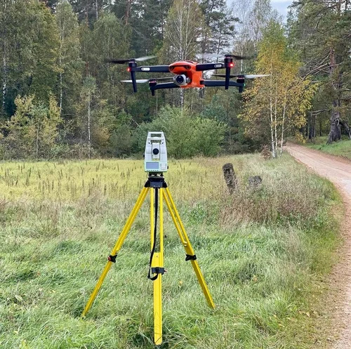
Introducing our hot-selling Contour Survey Services, a classic choice for land survey, topographic mapping, and construction planning across India. This eminent service is championed by experienced survey engineers, utilizing advanced Total Stations, GPS, and leveling instruments to ensure high precision results-no matter the terrain. Clients gain access to detailed contour maps, elevation profiles, and comprehensive survey drawings, available in both digital and hard copy formats. Our unmatched expertise supports industries such as construction, civil engineering, and land development, making us a trusted supplier and trader nationwide. Experience this hot deal today and elevate your project with contour accuracy.
Contour Survey Services: Precision for Multiple Applications
Our Contour Survey Services are specifically tailored for land survey, topographic mapping, construction planning, and engineering projects. This service type is renowned for supporting eminent projects with high accuracy, aided by advanced equipment and skilled engineers. The competitive advantage lies in our attention to detail, flexibility in handling diverse terrains, and consistent delivery across major industry sectors-making us the champion for reliable mapping and data output all over India.
Reliable Supply, Professional Handling, and Packaging
We supply Contour Survey Services with a robust capacity to handle diverse project sizes. Charged at competitive rates, with clear sample policies for clients, goods and reports are shipped promptly via safe transportation. All packages-be they digital files or hard copies-are carefully prepared to ensure integrity upon delivery. Trust us for secure packaging details and reliable supply throughout India, meeting the highest standards expected by the construction and engineering industries.
FAQ's of Contour Survey Services:
Q: How accurate are your Contour Survey Services across different terrains?
A: The accuracy of our contour survey services is of high precision, utilizing Total Stations, GPS, and leveling instruments. Accuracy may vary depending on the terrain and equipment used, but our experienced engineers ensure reliable results tailored to your project's needs.
Q: What is the process for commissioning a contour survey project?
A: The process starts with an initial consultation to understand your requirements, followed by on-site data capture using our advanced equipment. Once the survey is complete, we process the data and deliver detailed maps and drawings in your preferred formats.
Q: When and where are your contour survey services available?
A: We offer our services all over India, and project timelines depend on the size and complexity of each assignment. Contact us anytime to schedule a survey according to your project's timeline.
Q: What are the data outputs provided from contour surveying?
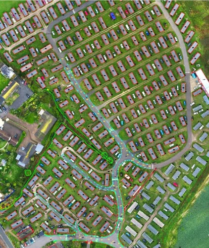
A: Our output includes contour maps, elevation profiles, and detailed survey drawings, available both digitally and as hard copies to meet various project requirements.
Q: What industries can best benefit from your contour survey services?
A: Industries such as construction, civil engineering, and land development find our services particularly valuable for planning, analysis, and execution of projects requiring detailed topographic information.

 Send Inquiry


 Send Inquiry


 Send Inquiry


