Topographic Survey Services About
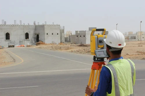
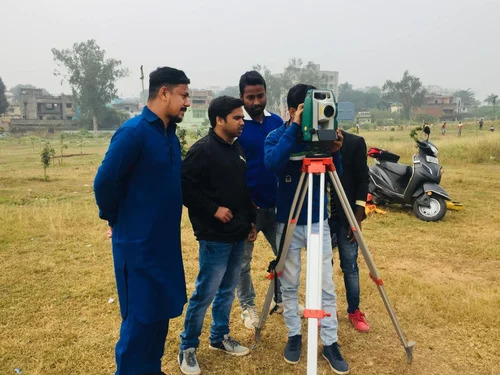
Discover the trending choice in Topographic Survey Services-delivered with discount rates for bulk projects. Our towering survey expertise ensures excellent, dominant accuracy up to 5 mm using advanced Total Station and GNSS Receiver technology. Data is fully customizable and provided in CAD, PDF, or GIS formats to suit your project needs. Benefit from rapid reporting in just 5-7 working days and detailed mapping covering any custom area, ideal for construction, infrastructure, municipal planning, and real estate across India. Enjoy precise contours, reliable elevation determination, and comprehensive offline service from a trusted supplier and trader.
Topographic Survey Services: Transforming Land Analysis
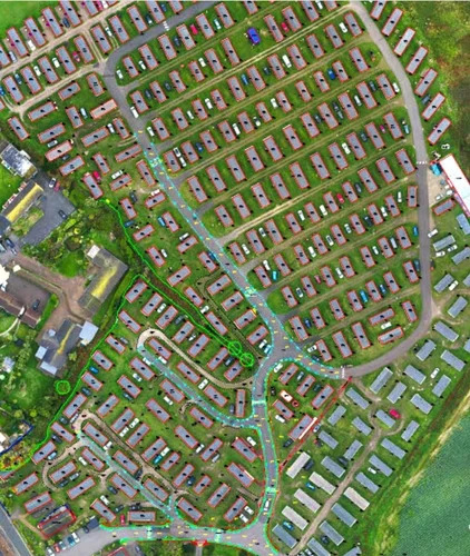
Topographic Survey Services are widely used by architects, builders, and engineers for detailed land and construction project planning. Excellent for commercial applications such as layout, zoning, and infrastructure development, these services reveal elevation changes, contour lines, and surface features. With features such as accurate measurement and customizable data output, contractors and municipal planners gain a towering advantage in project execution and land management through reliable, dominant survey results.
Efficient Supply Ability and Delivery for Survey Services
With a robust ability to supply survey services, our shipped goods and deliverables meet stringent timelines-typically within 5-7 working days after proposal amount approval. Clients can request sample survey outputs to experience our dominant service quality firsthand. Attractive rates are provided depending on coverage area and customization, with detailed proposals ensuring transparency. Our streamlined process means surveys are supplied efficiently across India, making us a trusted partner for timely commercial and construction projects.
FAQ's of Topographic Survey Services:
Q: How do you ensure accuracy in your topographic survey services?
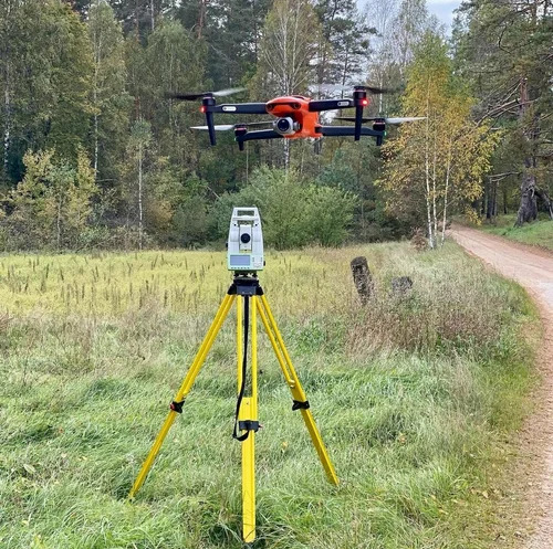
A: Accuracy is achieved using advanced Total Station and GNSS Receiver equipment, along with meticulous methodologies. All measurements are verified and processed to ensure survey accuracy up to 5 mm.
Q: What formats are available for the survey data output?
A: Survey data can be delivered in various customizable formats such as CAD, PDF, and GIS files, catering to the diverse needs of construction, real estate, and planning professionals.
Q: When can clients expect to receive their topographic survey reports?
A: Clients typically receive their comprehensive survey reports within 5-7 working days after the project begins and proposal amount is confirmed.
Q: Where can your topographic survey services be applied?
A: Our services are suitable for application across India, covering custom survey areas for construction sites, infrastructure projects, real estate developments, and municipal planning.
Q: What is the process for booking your topographic survey services?
A: Clients can contact us with project requirements. We provide a customized proposal detailing rates and deliverables, commence surveying upon approval, and ensure timely report submission.
Q: What are the benefits of using your topographic survey services?
A: Benefits include precise mapping, rapid turnaround times, customizable data output, and dominant survey accuracy, contributing significantly to successful land and construction projects.

 Send Inquiry


 Send Inquiry

 Send Inquiry


