DGPS Ground Survey Service About
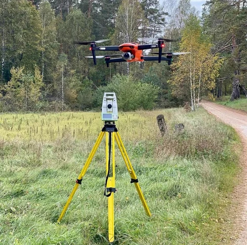
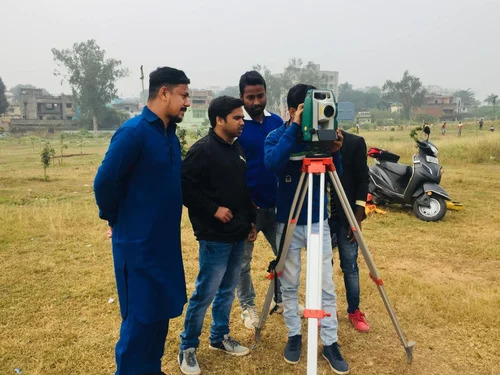
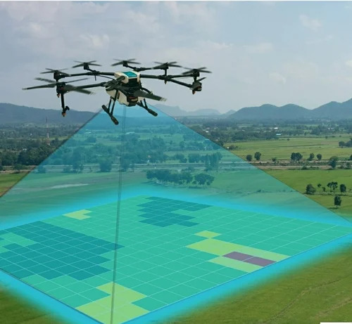
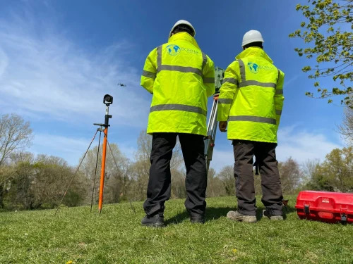
Experience elite DGPS Ground Survey Service, renowned for its unrivaled precision and sought-after accuracy in land and topographic surveys. Utilizing enlightened static, kinematic, and RTK methodologies, our service is enhanced by reduced turnaround times and customizable coverage areas to precisely match project demands. Data is expertly delivered in AutoCAD, Excel, Shapefiles, and PDF, complying with Survey of India, ASTM, and ISO standards. Supported by field crews and cutting-edge equipment-including drone photogrammetry and GIS tools-our project-based approach assures centimeter-level accuracy across infrastructure, agriculture, and civil engineering applications, Pan India.
Exceptional Versatility in Application Media & Usage
DGPS Ground Survey Service is employed across an array of application media, most notably in GIS maps, digital elevation models, and comprehensive survey reports. Used as a foundational technology for precise mapping, it finds extensive usage in land survey, construction, civil engineering, and topographic analysis. With applications spanning roads, railways, infrastructure, and agriculture, this customizable service ensures data-driven decision-making in a diverse range of field conditions and project requirements.
Premium Sample Policy & Efficient Delivery
Our DGPS Ground Survey Service offers a premium sample policy designed for discerning clients. Sample survey reports and data models can be promptly delivered for evaluation, ensuring transparency and confidence in every engagement. With a robust drop-off system, supply ability remains uncompromised regardless of location, and all deliverables are provided swiftly, meeting project timelines and exceeding expectations with every order throughout India.
FAQ's of DGPS Ground Survey Service:
Q: How does the DGPS Ground Survey Service achieve unrivaled accuracy?
A: Our service employs static, kinematic, and RTK methodologies using advanced DGPS equipment and sophisticated post-processing, enabling survey accuracy up to the centimeter level.
Q: What formats can clients expect when data is delivered?
A: Data outputs are provided in AutoCAD, Excel, Shapefiles, and PDF formats, ensuring compatibility with a wide range of engineering and GIS applications.
Q: When will the survey reports and data be delivered after completion?
A: Survey reports and digital outputs are delivered within 3-7 working days following the completion of onsite surveys.
Q: Where is the DGPS Ground Survey Service available?
A: Our services are available Pan India and can be customized to fit any project's geographical requirements or coverage area.
Q: What is the process for obtaining a sample of the DGPS Ground Survey output?
A: Clients may request sample data and reports as part of our premium sample policy to evaluate service quality before full-scale engagement.
Q: How can the service be customized for specific project requirements?
A: Coverage areas, coordinate systems, and data delivery formats are customizable, ensuring results are tailored to the unique needs of each project, whether for infrastructure, agriculture, or construction.

 Send Inquiry


 Send Inquiry


 Send Inquiry


