DGPS Ground Control Point Establishment Survey Service About
The DGPS Ground Control Point Establishment Survey Service stands in the spotlight for its astonishing accuracy and polished data quality. Tailored for mapping, construction, and infrastructure development, this popular service delivers centimeter-level precision using advanced DGPS receivers. We offer perfect compatibility with WGS84, UTM, and local datums, with outputs available in digital CSV, Shapefile, and comprehensive PDF reports. Delivered by certified surveyors and seasoned DGPS operators, our project-based approach ensures competitive pricing. All data is cross-verified for quality assurance, making us a trusted supplier and trader pan India.
Usage Type and Special Features of DGPS Ground Control Point Surveys
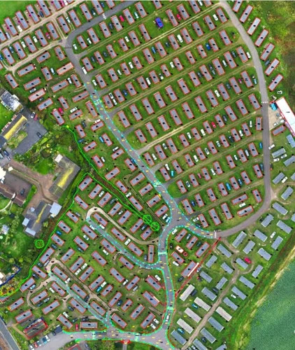
Our DGPS Ground Control Point Establishment Survey Service addresses both general and specific usage, supporting critical applications in civil engineering, land boundary identification, and GIS mapping. Special features such as georeferenced point collection, cross-checked accuracy, versatile data formats, and adaptability to diverse environments-including urban, rural, industrial, and remote areas-make this service ideal for industry professionals seeking reliable survey deliverables for multiple project types.
Payment Terms, Packaging, and Certification Highlights
We ensure market value pricing aligned with prevailing industry rates, offering transparent payment terms for our DGPS survey services. Deliverables are carefully packaged and digitally dispatched as CSVs, Shapefiles, and formal PDF reports for immediate use. All procedures are performed by certified surveyors, adhering to rigorous industry standards to ensure credibility, reliability, and confidence in every dispatch.
FAQ's of DGPS Ground Control Point Establishment Survey Service:
Q: How is the DGPS Ground Control Point Establishment Survey conducted?
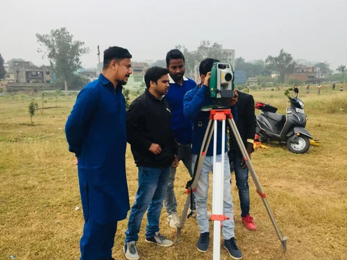
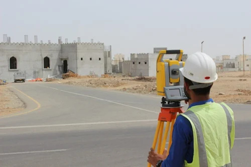
A: The survey is conducted on-site using Differential GPS receivers by certified surveyors and operators. Points are established based on project requirements and are cross-verified against reference benchmarks to achieve high precision.
Q: What coordinate systems and data formats are supported by this service?
A: We support WGS84, UTM, and local datums for coordinate systems. Data deliverables include digital CSV files, Shapefiles, and comprehensive PDF reports for seamless integration into Survey CAD and GIS platforms.
Q: When can I expect delivery of the survey data?
A: Project duration varies depending on the site size and complexity, but data is typically dispatched promptly upon completion, with digital deliverables packaged for immediate access and use.
Q: Where is the DGPS Ground Control Point Establishment Survey Service available?
A: Our service covers urban, rural, industrial, and remote areas throughout India. For location-specific requests, tailored solutions are available upon inquiry.
Q: What are the main benefits of using this survey service over traditional methods?
A: Our service offers astonishing accuracy at the centimeter level, robust quality assurance measures, compatibility with various coordinate systems, and the flexibility to meet diverse mapping and infrastructure needs at competitive rates.

 Send Inquiry


 Send Inquiry


 Send Inquiry


