Geo Referencing Satellite Image Khasra Mapping Service About
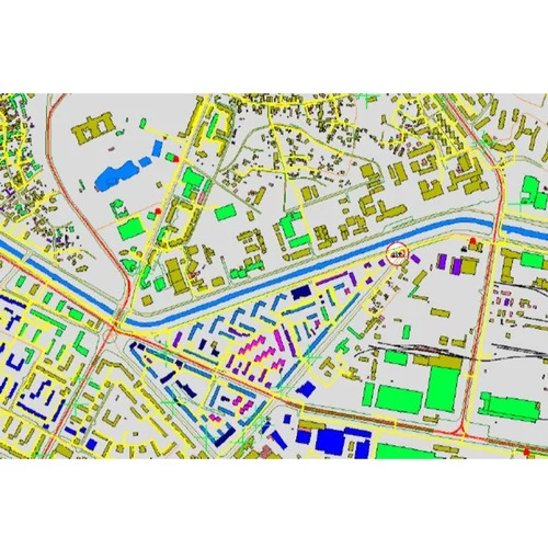
Experience the unrivaled precision of our Geo Referencing Satellite Image Khasra Mapping Service-the latest solution for land parcel mapping, land ownership identification, and revenue records management. Utilizing top-rated, high-resolution satellite imagery with sub-meter to meter accuracy, this service ensures the finest and most resplendent mapping experience. Instant Checkout, customized assessment, and both online/offline modes set a new standard in efficiency. The GIS-compatible digital output supports seamless integration with your workflow, making it the preferred choice for government agencies, surveyors, and GIS professionals across India.
Application Method, User Base & Usage Type
Geo Referencing Satellite Image Khasra Mapping Service employs advanced remote sensing and GIS software to deliver meticulous mapping of land parcels. Highly suitable for government bodies, land management authorities, surveyors, and GIS professionals, the service streamlines accurate land ownership identification and record updating. Whether used for property validation, infrastructure planning, or cadastral management, its application method guarantees precision through sub-meter to meter level accuracy and versatile use, both online and offline, across India.
Sample Availability, Domestic Market & Payment Terms
Sample access for Geo Referencing Satellite Image Khasra Mapping Service is available, helping clients evaluate mapping quality before making a purchase order. With a prominent presence in the main domestic market across India, delivery is prompt upon confirmation. Payment terms are flexible, supporting seamless transactions and accommodating exchange or repeat orders as required. The service ensures efficient turnaround, making it a preferred choice for clients seeking dependable and accurate mapping solutions in the Indian region.
FAQ's of Geo Referencing Satellite Image Khasra Mapping Service:
Q: How does the Geo Referencing Satellite Image Khasra Mapping Service ensure high positional accuracy?
A: The service uses advanced remote sensing technology and high-resolution satellite imagery, yielding sub-meter to meter positional accuracy through precise geo-referencing techniques. This approach minimizes errors and guarantees optimal map quality.
Q: What types of data output formats are provided by this service?
A: Clients receive GIS-compatible digital files such as Shapefile and GeoTIFF, ensuring seamless integration with a range of mapping and GIS platforms.
Q: When can I expect delivery after placing a purchase order?
A: Delivery timelines are prompt following purchase order confirmation, with turnaround times depending on project scope and customization. Clients are updated regularly to ensure transparency throughout the process.
Q: Where is this geo-referencing service available?
A: The service is available pan India, covering diverse geographies and land types, making it accessible to clients nationwide.
Q: What are the main benefits of using the Geo Referencing Satellite Image Khasra Mapping Service?
A: Key benefits include unrivaled accuracy, instant checkout, custom mapping, robust data outputs, and dedicated support for land management, revenue recording, and infrastructure planning applications.
Q: How is the service typically used by government agencies and land management authorities?
A: Government and land management authorities use this service for efficient land parcel mapping, accurate boundary identification, updating ownership records, and managing infrastructure or development planning with GIS-enabled insights.

 Send Inquiry


 Send Inquiry

 Send Inquiry


